
A different
view of home.
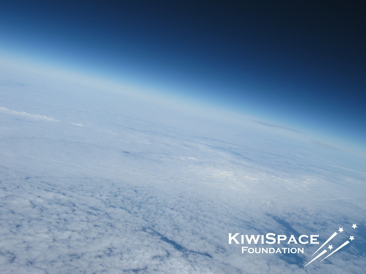
A helium balloon, a camera, and a view of New Zealand that made the familiar feel extraordinary.
10 April 2011
Start in a field.
Change your perspective.
On a Sunday morning in April 2011, a KiwiSpace team launched a helium balloon above Waikato carrying cameras and tracking equipment.
The flight climbed into the stratosphere before the balloon burst and the payload descended back to Earth. Tracking and recovery were as much a part of the challenge as the launch itself.
Recovered near Pirongia, the cameras brought back a remarkable view: cloud-covered landscapes beneath a deep blue sky. The project combined practical engineering, weather prediction, amateur radio and a great deal of volunteer determination.
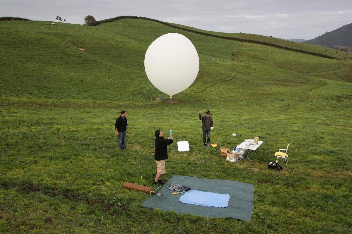
The adventure
starts on the ground.
Building the payload. Forecasting the winds. Tracking its path. Finding it again.
Each step made an abstract idea practical—and showed how a small team could take on an ambitious technical project.
The flight.
And the work behind it.
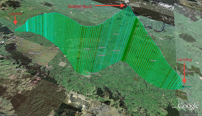
Flight 1 lifted off near Taupiri at 8:48am on 10 April 2011, marking the approaching 50th anniversary of human spaceflight.
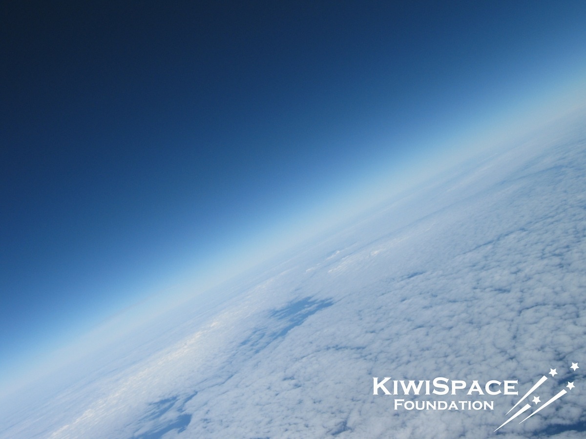
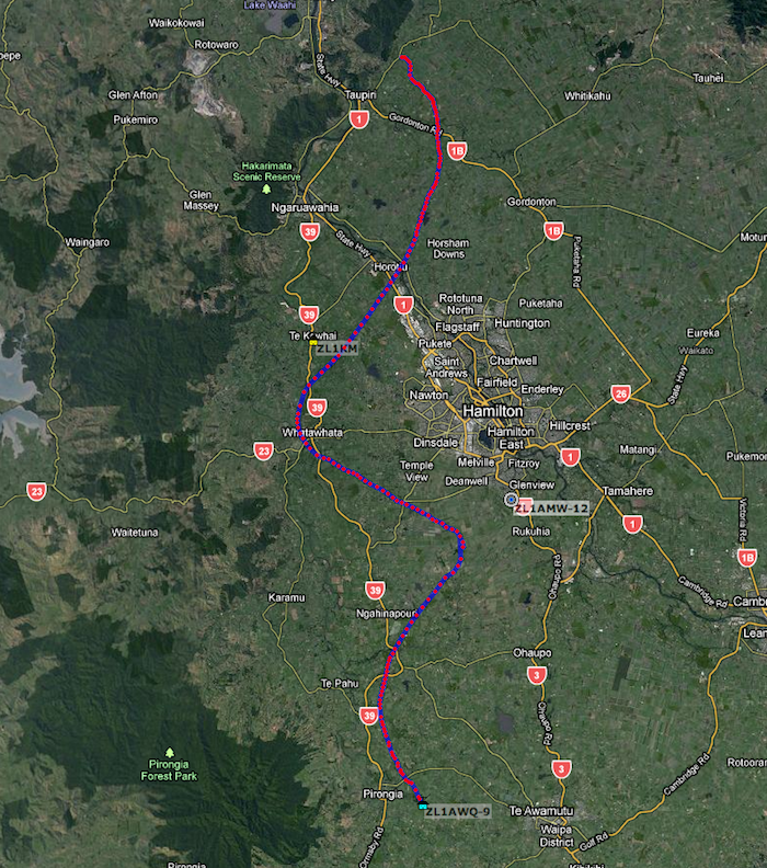
The balloon rose more than 15 kilometres into the stratosphere before bursting. Its payload descended east of Pirongia, where the recovery team reached it at 11:12am—intact and still taking pictures. The ground track covered about 46 kilometres.
At roughly 520 grams, the payload packed in a Canon camera running custom time-lapse firmware, GPS and altitude telemetry transmitted through the amateur-radio APRS network, a radio beacon and a mobile phone providing additional location information and pictures.
Planning where it might land was a challenge of its own. The team modelled the winds, considered the risk of fast-moving upper-air currents, and coordinated tracking and recovery over New Zealand’s narrow landmass.
Will Leizerowicz led the core project team with Alex Heffer and André Pointon. Mark Mackay and the amateur-radio community supported recovery, with help from weather, aviation and search-and-rescue specialists.
The project demonstrated more than a dramatic view: payload design, weather modelling, telemetry and recovery could each become a practical route into science and engineering learning.
Follow the
journey.
Original mission maps show the ground track and flight profile.
The flight.
On film.
Original footage and photographs, from preparation to recovery.